ZACHAROVANA DOLYNA (“ENCHANTED VALLEY”).
GEOLOGICAL LANDMARKS OF UKRAINE. TRANS-CARPATHIAN REGION.


Trans-Carpathian internal trough, Vygorlat-Gutynske volcanic range
Irshava area, north-western outskirt of Ilnytsya township
48° 24′ 10″ N lat; 23′ 04′ 30″ E long.
Cliffs. Square about 70 hectares
Geomorphologic, magmatic, mineralogical.
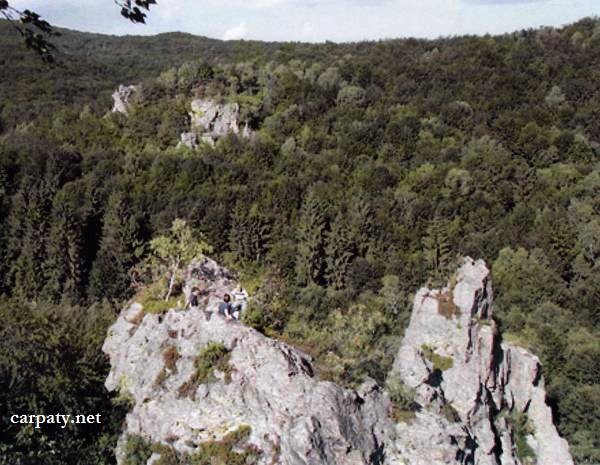
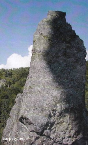
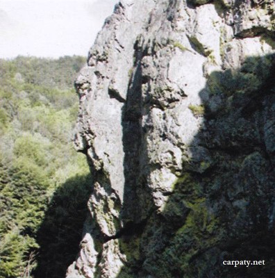
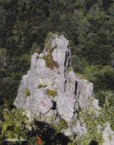
In the upper reaches of Smerekovy Stream within heavy forest occurs impressive meadow called as Enchanted Valley (or Smereka Stone). The cliffs up to 70 m in height had got from the weathering diverse forms which resemble ancient castles’ ruins, huge trees (Stoned Smereka), and animals (Camel-Giant). The cliff range comprises erosion remnants formed due to weathering resistance of hydrothermally altered Late Sarmatian-Pannonian andesite tuffs (secondary mono-quartzite). Mono-quartzites are enriched in bismuth, molybdenum, and gold content (Smereka Stone prospect).
Enigmatic cliffs in forest reserve, impressive landscape and mineral water streams attract there tourists, nature-fanciers and campers.
Ecological conditions are suitable.
Accessible by motor-car. Driving to Novoselytsya village of Irshava area (north-western outskirt of llnytsya township) then 5 km by walk to the north. Same as 1.2 km to the north-west by azimuth 330′ from the top of Yavir mountain.
Legally the object as geological landmark is not defined yet.
It is suggested to give the status of geological state-rank landmark.
Sourсe: Geological Landmarks of Ukraine: In 3 volumes/V.P. Bezvynniy, S.V. Biletski, O.B. Bobrovetal.; V.l. Kalinin, D.S. Gurskiy, I.V. Antakova, Eds. — K.: DIA, 2006. — Volume I. — 320 p.

Comment