TROSTYANETS CLIFFS.
GEOLOGICAL LANDMARKS OF UKRAINE. TRANS-CARPATHIAN REGION.


External Carpathians, Porkuletska Zone
Rakhiv area, Kvasy village, Trostyanets Farm
48° 10′ 26” N lat.; 24° 14′ 58″ E long.
Square up to 0,2 km2
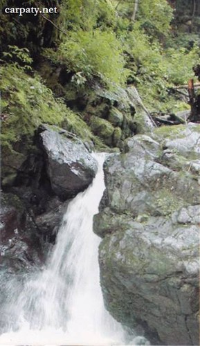
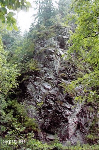
Rocky cliffs on both sides of the stream
Magmatic.
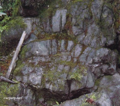
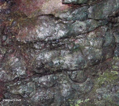
In the impressive valley of Trostyanets Stream there occur cliffs up to 50-60 m in height composed of diabases and spilites of Upper Jurassic Trostyanetska Suite. In 150 m wide cross-section there are distinguished up to 10 lava flows from some to 32 m thick where sometimes occur geodes with opal. Outcrops are strato-typical for these rocks in Carpathians. The length of outcrops attains 2 km.
The outcrop has significant scientific importance since it can be considered as the remnant of the oceanic crust. It also has esthetic importance and is often being visited by tourists.
Ecological conditions are suitable.
Accessible by motor-car — 2 km up the delta of Trostyanets stream from Rakhiv-Yasynya road then 1 km by walk along the stream.
Legally the object as geological landmark is not defined yet.
It is suggested to give the status of geological international-rank landmark.
Sourсe: Geological Landmarks of Ukraine: In 3 volumes/V.P. Bezvynniy, S.V. Biletski, O.B. Bobrovetal.; V.l. Kalinin, D.S. Gurskiy, I.V. Antakova, Eds. — K.: DIA, 2006. — Volume I. — 320 p.


Comment