NOVOSELYTSKE JURASSIC SEDIMENTS OUTCROP.
GEOLOGICAL LANDMARKS OF UKRAINE. TRANS-CARPATHIAN REGION.


Trans-Carpathian deep-seated fault zone, Penninian sub-zone
Tyachiv area, Novoselytsya village
Watershed between Luzhanka and Vilkhivchyk Rivers, mountain with top at 733,8 m
48° 10′ 47″ N lat; 23° 44′ 13″ E long.
Quarry. Square 5 hectares
Stratigraphic, tectonic, magmatic.
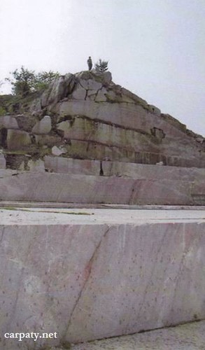
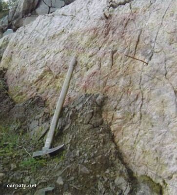
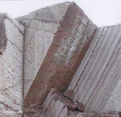
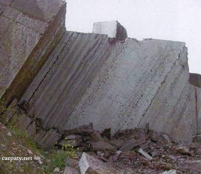
At the upper reaches of the Luzhanka and Vilkhivchyk Rivers on the mountain top there is located limestone quarry. There are exposed Jurassic pink, red, and yellowish limestones which are cut by steeply-dipping Upper Jurassic — Lower Cretaceous dyke of dark brown-greenish diabases. Limestones occur as tectonic wedge and in the east along the fault they are in contact with extensively folded dark-grey argillites and aleurolites of Lower-to-Upper Jurassic Tysalska Suite.
Under conditions of ideal exposure one can observe there extensive tectonic deformations and fine-block structure of most mobile southern strip of Trans-Carpathian deep-seated fault. The outcrop can be considered as a standard for the studies of Carpathians geodynamics. Besides this impressive limestones coloring and patterns could provide esthetic pleasure to the nature- and colored gem-fanciers.
Ecological conditions are suitable.
Accessible by motor-car.
Legally the object as geological landmark is not defined yet.
It is suggested to give the status of geological state-rank landmark.
Sourсe: Geological Landmarks of Ukraine: In 3 volumes/V.P. Bezvynniy, S.V. Biletski, O.B. Bobrovetal.; V.l. Kalinin, D.S. Gurskiy, I.V. Antakova, Eds. — K.: DIA, 2006. — Volume I. — 320 p.
Comment