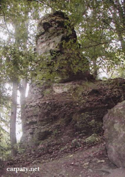
VOLCANIC TUFF COLUMN
GEOLOGICAL LANDMARKS OF UKRAINE. TRANS-CARPATHIAN REGION.
Trans-Carpathian internal trough, Vygorlat-Gutynske volcanic range
Uzhgorod area, village Nevitske. Left bank of Uzh River
48° 40′ 35″ N lat.: 22° 24′ 30″ E long.
Cliffs
Geomorhological, magmatic.
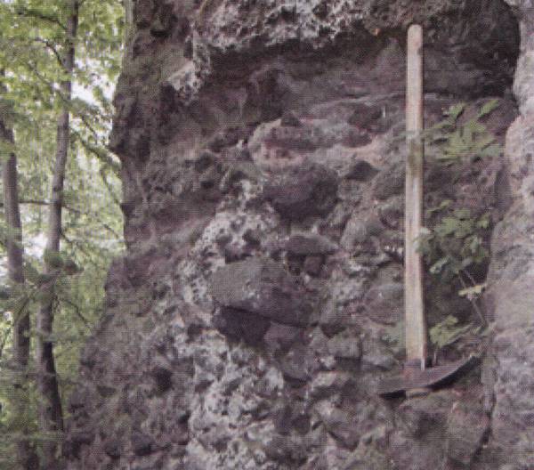
Close to the Nevitsk Castle at the Zamkova Mountain foot in the forest there rises above a cliff about 10 meters height. The cliff looks like isometric column and comprises eroded remnant where agglomerate tuffs of andesitic composition are exposed. These tuffs resulted from extensive explosive activity in time of numerous volcanic explosions of the largest old volcano which central portion where sited eastward, at site of modern Antalovecka Polyana Mountain.
Formation of the column-like cliffs composed of tuffs seems to be fairly seldom phenomena since the tuffs comprise erosion-unstable rocks and usually negative relief form over these rocks. A number of tourists attend the object.
Ecological conditions are suitable.
Accessible by motor-car. 400 m westward from the bridge over Uzh River.
Legally the object as geological landmark is not defined yet.
It is suggested to give the status of geological regional-rank landmark.


Sourсe: Geological Landmarks of Ukraine: In 3 volumes/V.P. Bezvynniy, S.V. Biletski, O.B. Bobrovetal.; V.l. Kalinin, D.S. Gurskiy, I.V. Antakova, Eds. — K.: DIA, 2006. — Volume I. — 320 p.
Comment