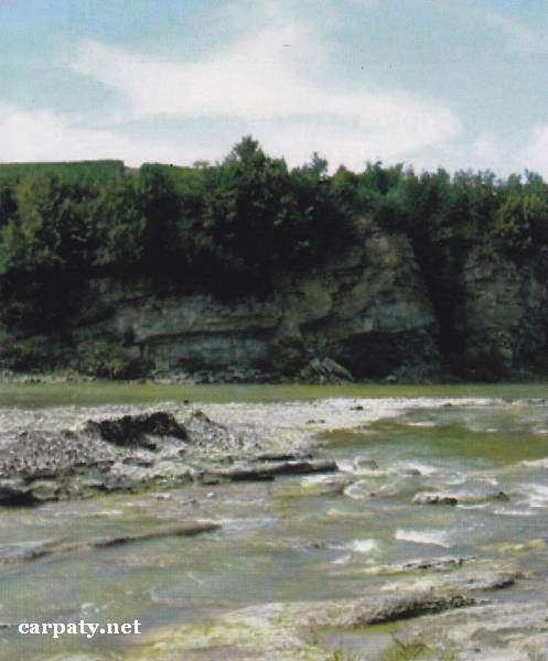
IVANO-FRANKIVSK REGION. CROSS-SECTION OF MIOCENE ROCKS ALONG PRUT RIVER AND PERICLINE CLOSURE OF DOBROTIVSKA ANTICLINE
GEOLOGICAL LANDMARKS OF UKRAINE. IVANO-FRANKIVSK REGION.

Fore-Carpathian Trough, Boryslavsko-Pokutskiy Nappe
Nadvirna area, south-western outskirt of Dobrotiv village, left rocky slope and course of Prut River
48°32′ N lat; 24°41′ E long
Cliffs. Square 10 hectares
Stratigraphic, tectonic.
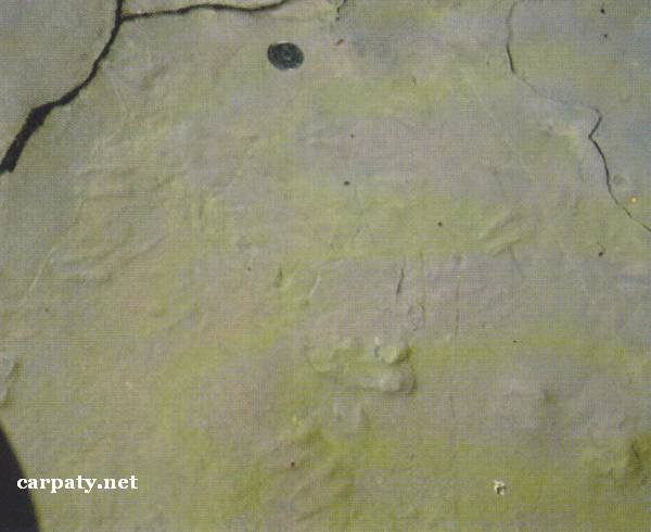
Molassa section in its lower part comprises coarse-clast lithotype of Vorotyshchenska Suite of Eger-Egenburg regio-divisions (25 Ma) which is known as Slobidski conglomerates. These rocks form the core of same-named large anticline which pericline is clearly observed in the left bank of Prut River. Above accurs a pile of variable-rhythmic intercalation of sandstones, aleurolites and argillites which is known as Dobrotiv layers and tops the Vorotyshchenska Suite section. Fine-grained rocks contain numerous hieroglyphs of different origin from which for paleographic reconstructions in the region at the time of sedimentation are important the imprints of animal footsteps, drying cracks, rain droplets etc.
This is the Lower Miocene molassa section which is typical for south-eastern part of Boryslavsko-Pokutskiy Nappe and is included into the international catalogues as natural museum of diverse geo-glyphs.
Ecological conditions are suitable.
Access by dirt road from Zarichchya village (up the stream from delta of Oslava Stream).
Legally the object as geological landmark is not defined yet.
It is suggested to give the status of geological regional-rank landmark.
Sourсe: Geological Landmarks of Ukraine: In 3 volumes/V.P. Bezvynniy, S.V. Biletski, O.B. Bobrovetal.; V.l. Kalinin, D.S. Gurskiy, I.V. Antakova, Eds. — K.: DIA, 2006. — Volume I. — 320 p.

Comment