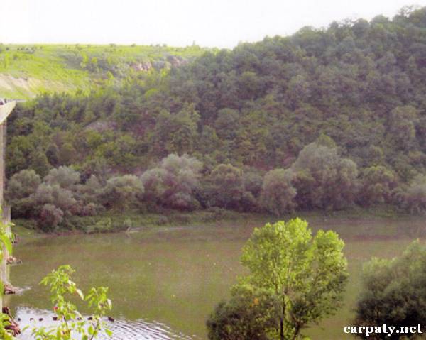
IVANO-FRANKIVSK REGION. ZABOLOTIV-USTECHKIVSKA DEPRESSION.
GEOLOGICAL LANDMARKS OF UKRAINE. IVANO-FRANKIVSK REGION.

Eastern-European Platform, Volyno-Podilska Plate
Gorodenkivskiy area, In front of Ustechko village in Zaleshchyki area of Ternopil area
Right slope of Dnister River valley
48°46′ N lat.; 25°37′ E long.
Square 10 hectares
Tectonic, stratigraphic.
In the rocky slope of Dnister River there are exposed Miocene (14-16 Ma) Badenian rocks consisting of organogenic-debris and lithotamnian limestones and gypsum. These sediments fill up large linear depression of inferred erosion-tectonic origin which is about 80 km long and 1-4 km wide and is traced from Ustechko village on Dnister River to Kolomiya City. Thickness of Miocene sediments (by drilling data) which fill up this depression varies from 250 m at Ustechko village to 1000 m at Kolomiya City.
This is an example of depression structure and Miocene rock section that fill it up. And this is the object of permanent discussion on the origin of this depression.
Ecological conditions are suitable.
Object is located close to the road Gorodenka-Ternopil at the motor-car bridge over Dnister River.
Legally the object as geological landmark is not defined yet.
It is suggested to give the status of geological regional-rank landmark.
Sourсe: Geological Landmarks of Ukraine: In 3 volumes/V.P. Bezvynniy, S.V. Biletski, O.B. Bobrovetal.; V.l. Kalinin, D.S. Gurskiy, I.V. Antakova, Eds. — K.: DIA, 2006. — Volume I. — 320 p.
Comment