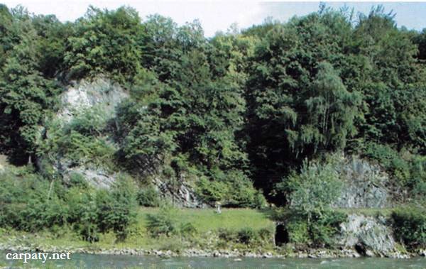
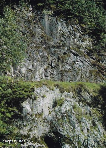
TRIASSIC ROCKS OUTCROP.
GEOLOGICAL LANDMARKS OF UKRAINE. TRANS-CARPATHIAN REGION.


Internal Carpathians, Marmaroshskiy crystalline massif
Rakhiv city, Kameneshty tract Mp
48° ’01’ 42″ N lat; 24° 10′ 28″ E long.
Cliffs
Stratigraphic.
On the left bank of Tysa River in railroad hollow there are discovered dark-grey limestones with Triassic fauna (Ladyn Division), greenish sandstones, white quartz conglomerates and gravelites, and reddish argillites. The outcrop length attains 200 m, its width is up to 50 m, and height 10-15 m. This is Triassic rock section characterized with fauna which is developed on the basement of Bilopototskiy nappe and overlays rocks of Herzinian intermountain molassa of Carpathian region.
The outcrop has scientific importance. Impressive cliffs are being often visited by tourists.
Ecological conditions are suitable.
Accessible by motor-car but river should be crossed. Nearest bridge is located in 1200 m downstream at Vilkhovatiy Farm, 4.4 km downstream from the centre of Rakhiv city on the left bank close to railroad.
Legally the object as geological landmark is not defined yet.
It is suggested to give the status of geological regional-rank landmark.
Sourсe: Geological Landmarks of Ukraine: In 3 volumes/V.P. Bezvynniy, S.V. Biletski, O.B. Bobrovetal.; V.l. Kalinin, D.S. Gurskiy, I.V. Antakova, Eds. — K.: DIA, 2006. — Volume I. — 320 p.
Comment